Tour du Merle hiking trail (downhill pass)

Medium
3h30min
7km
+748m
Tour du Merle hiking trail (downhill pass) image1Tour du Merle hiking trail (downhill pass) image2Tour du Merle hiking trail (downhill pass) image3Tour du Merle hiking trail (downhill pass) image4Tour du Merle hiking trail (downhill pass) image5Tour du Merle hiking trail (downhill pass) image6Tour du Merle hiking trail (downhill pass) image7Tour du Merle hiking trail (downhill pass) image8Tour du Merle hiking trail (downhill pass) image9
1 / 9

Description

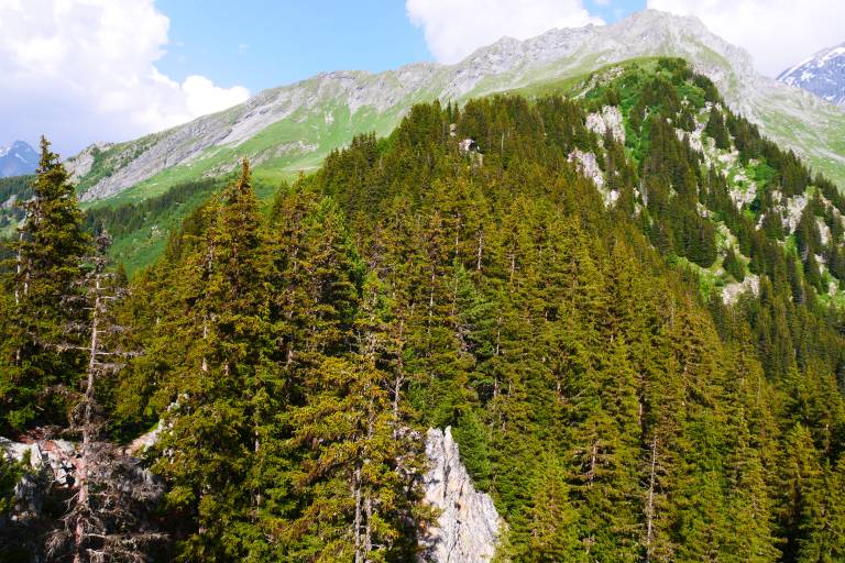
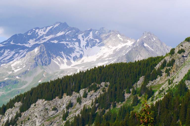
Set off on this beautiful trail that takes you on the north slope at 1940 m into the woods.

Starting point: Champagny le Bas - Pont des Chailles (at the Champagny exit, heading to Pralognan)
Arrival: idem
Duration: 3:30 hrs (2:30 hrs walking uphill)

Marking

Map references

IGN map available from Champagny-en-Vanoise Tourist Office.

Amenities

Guided steps

0/ From the Chailles bridge spanning the Doron (stream), take the track that winds its way up through the forest.

1/ After the 3rd bend, take a path on the left (sign). It crosses a brook and then joins another path above (coming from Champagny le Haut - sign "Combe de Verdon"): turn right; after a 150m-ascent, you arrive in the meadows of the Enclos du Seil.

2/ Keep going to the left, at the junction. The path rises a little.

3/ At the next junction, turn right and go up for 100 meters to reach a small "pass" near the top of the Merle tower!
Caution, the ascent of the tower is dangerous (crumbly rock).

Address
Route des Caves, Pont des Chailles, 73350, Champagny-en-Vanoise
Opening
From 01/05 to 01/11 daily. Subject to favorable snow and weather conditions.

Was this content helpful to you?

Address
Route des Caves, Pont des Chailles, 73350, Champagny-en-Vanoise
Opening
From 01/05 to 01/11 daily. Subject to favorable snow and weather conditions.