
Summer trail 21 - Crève Tête
Description
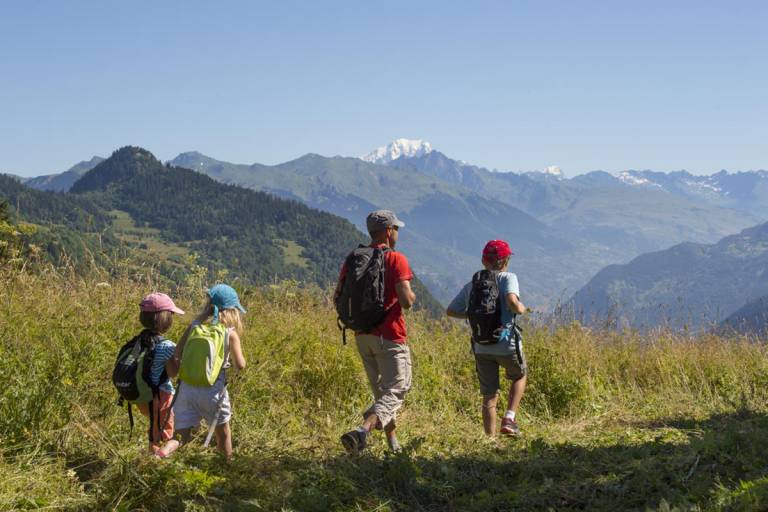
There is a variety of different scenery around the Crève Tête mountain, with views of la Chaîne des Lauzières, le Col de la Madeleine and the Belleville Valley.
From the parking lot, walk back down the road for about 80 meters and turn left onto a gravel path. Follow this path uphill as it curves to the left, passing a grassy path leading downhill on your right, then a forest trail. After a flat section, the path narrows into a trail. Pass the Crêt fountain and continue for about 500 m. Just past a pile of large boulders, turn right onto the path that zigzags upward and is marked by a few wooden stakes. This section of the route is often damaged by passing herds. Stay alert and follow the trail closely; it stays on the right side of the valley and leads to the Col du Golet. You’ll see the Lauzières mountain range ahead of you. At your feet lies the resort of Valmorel, and to the right, the villages of the commune of Les Avanchers. The Col de la Madeleine is located further up to the left. At the pass, leave the trail’s bend to the left and follow the grassy path to the right for about 50 meters, then turn right onto the trail carved into the white rock. It climbs in fairly steep switchbacks (a difficult section) on the right side of the grassy Crève Tête ridge and reaches the summit, where two wooden crosses stand. Until the end of the 19th century, people would make a pilgrimage to the summit of Crève Tête.
From the summit, descend slightly and follow the trail to the left as it winds along the side of the ridge. You’ll be walking with Mont Blanc directly in front of you. To your right lie the Grande Casse and the Vanoise glaciers. At the end, the trail descends to the left of the ridge, then veers back to the right and drops more steeply in switchbacks. You then reach a flat area where the path winds between large boulders surrounded by spruce trees.
At the junction, turn right and descend along the trail marked with black grouse symbols. You will soon enter the forest. After a few steep switchbacks, you’ll reach a wider path that slopes gently to the left. You’ll then come to a dirt road, which you’ll follow to the right. At the intersection, leave the black grouse trail and take the gently sloping dirt road to the right, which becomes grassy at the forest’s edge and then narrows into a trail. Stay along the valley slope without descending to the left. Further down, you’ll find yourself back under the canopy of spruce trees. Pass another trail on the left. At the next fork, take the flat trail to the right that joins the gravel path at point 2, or descend to the left to pass through Le Novallay (fountain). Return via the same route.
Marking
This trail is marked with yellow signs.