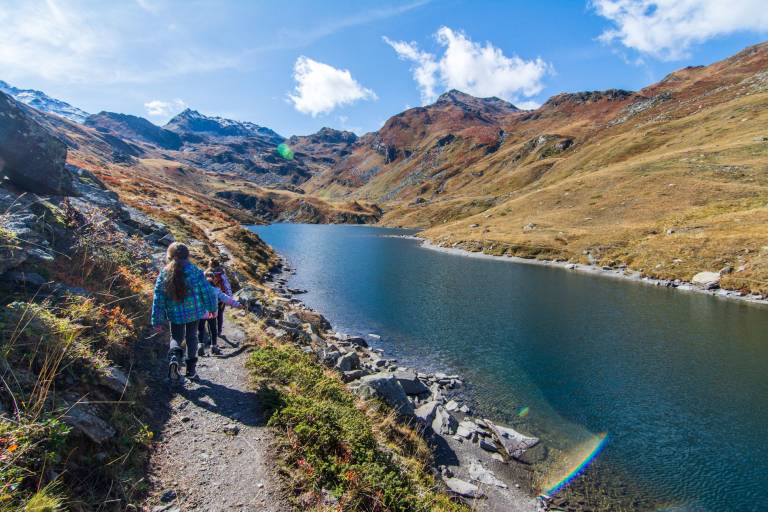
Path "Le Lac du Lou"


1 / 4
Medium
2h
5.2km
Round trip
+292m
-292m
Description
Come to discover the biggest and most beautiful lake of Belleville’s valley situated in a virgin valley, free from any ski chairlifts and telecabines.
Place of Departure: Parking of Plan d’Eau at Bruyeres
Altitude at point of departure: 1758m
Maximum altitude: 2050m
Access for pushchairs: no
Nature of the Ground: soil
Difficulty Levels: Easy
Pricing
Free of charge
Route GPX track
Plan de l’Eau des Bruyères, 73440, Les Menuires
From 01/06 to 31/10 : open daily.
