Mont Bochor (2 023 m) - Loop walk

Hard
3h30min
6km
Loop
+565m
-565m
Mont Bochor (2 023 m) - Loop walk image1

Description

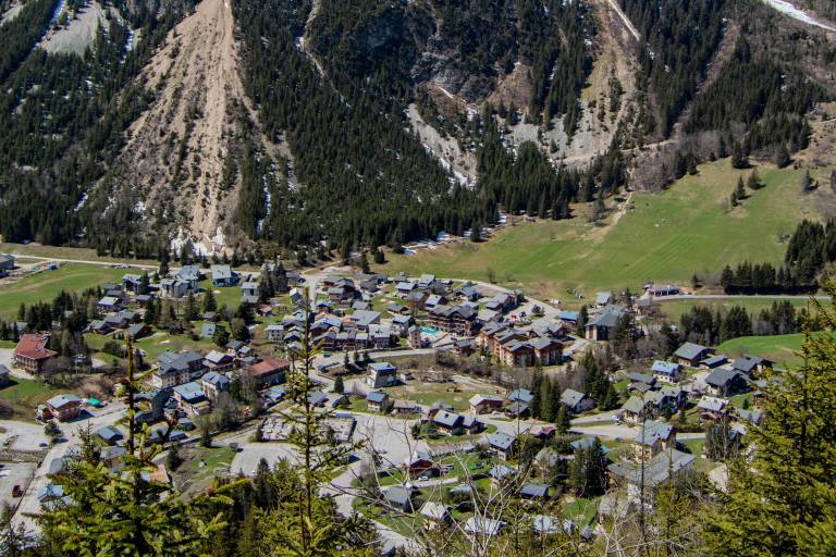
Treat yourself to a life-size panorama of the 4 cardinal points of Pralognan-la-Vanoise! From the summit, which towers over Pralognan at a height of over 600 metres, enjoy the view of the village and the Chavière valley, and take advantage of the reading tables, particularly the geological table. A part of the Pralognan ski area unfolds before your eyes, against the backdrop of the Aiguille de la Vanoise and Savoie's highest peak, La Grande Casse. An invitation to discover these grandiose landscapes in winter...

Guided steps

  1. In the hairpin bend between Rue du Raffort and Route des Fontanettes, follow the Forêt des Granges path (path no. 4), which starts at the side of the road, on your left.
  2. A few metres further on, fork right to take the Pariettes trail (path no. 5) towards Mont Bochor.
  3. At the junction at the end of the forest, turn left to reach the Bochor plateau and the high-altitude restaurant.
  4. Reach the summit of Mont Bochor and the geological table for an unmissable view of the village and the Chavière valley.
  5. On the way down, take the path to Les Fontanettes (trail no. 7).
  6. Cross the hamlet of Les Fontanettes, then follow the path down to the village, passing the orientation table at the Rocher de la Fraîche (path no. 17).
Download GPX file
Address
73710, Pralognan-la-Vanoise
Opening
From 01/06 to 31/10.

Was this content helpful to you?