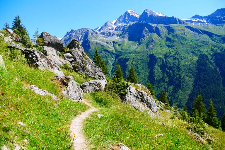
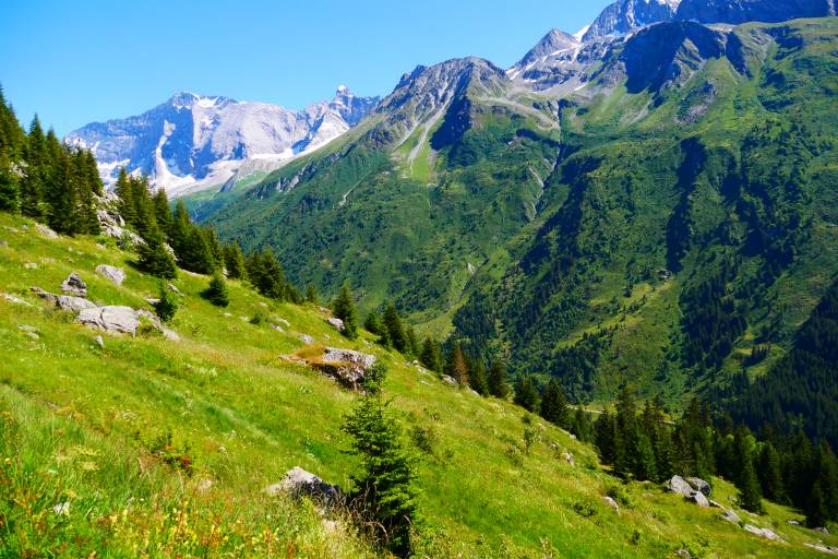
Walking route: L'Alpage de Lécheron
Medium
2h45min
5.82km
Round trip
+615m
-615m

1 / 11
Description
Starting point: Champagny Le Haut, car park in the hamlet Le Bois
Arrival: idem
Duration: 2:45 hrs (1:45 uphill)
Life in the mountain pastures of Lécheron: at this altitude, without electricity or mechanical means, life in this mountain pasture takes place over a period of 4 months in very difficult conditions; it is punctuated by the care of the animals, milking and the production of cheese (tommes). Direct sales are possible.