Antraïgues-Château de Craux


1 / 19
Medium
2h45min
7.8km
Loop
+330m
Description
Trailhead is in front of the Hiking Information Board not far from the Tourist Information Office. Go up the street to La Lermuze cross roads.
La Lermuze Marking Post 460m follow Pont-de-Gamond
Go up the Antraigues village center, cross the plaza staying on the left and go down the paved alleyway.
Gamond Marking Post 410m follow Pont-De-Gamond
Cross the paved road and take the bridge over the Mas creek. Here one can see old water canals meant to power the silk mill further down the creek.
Pont de Gamond Marking Post 410m follow Col de Genestelle
Stay on the road for 50m go up the trail on the right. Cross the brook and rock piles to catch up with the trail.
Col de Genestelle (Genestelle Pass) Marking Post 650 m follow Le Rouge Antraigues
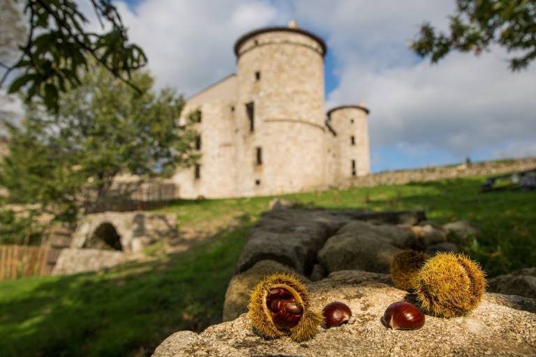
Stay on the road until the Craux Castle. The castle is being restored, and therefore not visitable. The grounds around the castle are farmed to this day.
Please do not disturb the farmland, crops and flocks.
Stay on the road for 500m until Le Rouge Marking Post
Antraigues in Occcitan is written Entraigas meaning “between waters”.
Le Rouge Marking Post 615m follow Pont-de-Gamond Antraigues
Walk along the forest track for 50m then go down on the left hand side trail.
Go above the Valgironne hamlet and continue until the asphalt road. On the way down there is a great view of the Volane valley and the Rigaudel hamlet with a mineral water spring plant, old mills and basalt lava flow.
Pont-de-Gamond Marking Post 410m follow Gamond Antraigues
Gamond Marking Post 410m follow La Lermuze
Go back up to the village center along the road or by the same path you came down on.
Pricing
Free of charge.
Langues
Route GPX track
Antraigues-sur-Volane, 07530, Vallées d'Antraigues - Asperjoc
All year round daily.
